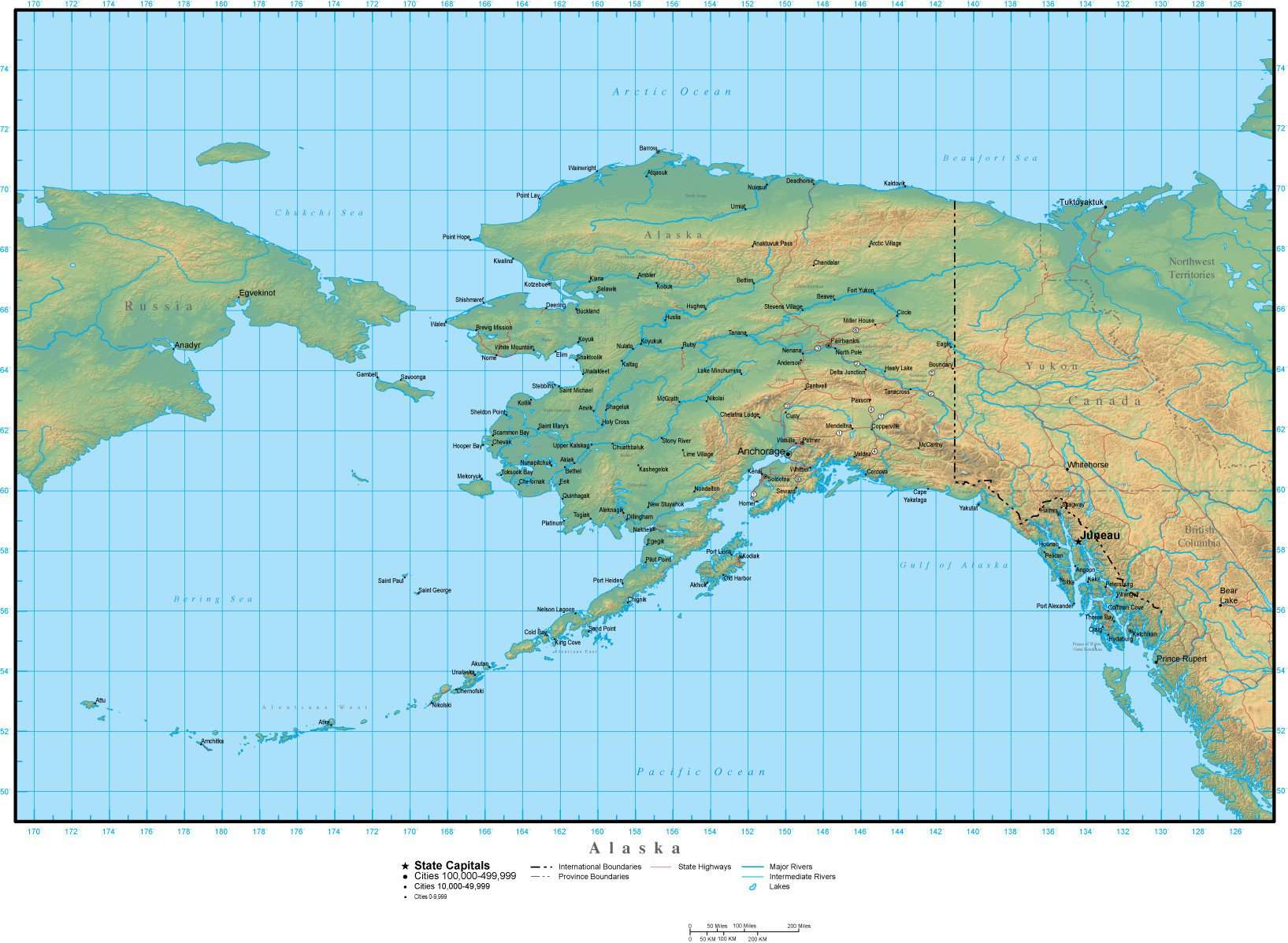
Alaska Map Plus Terrain with Cities Roads and Water Features
$89.95
{{option.name}}:
{{selected_options[option.position]}}
{{value_obj.value}}
About This MapShows the entire state, with portions of adjacent states. Detail includes all county borders, major roads, rivers, lakes, and city locations.In Illustrator format, the background terrain is a 300 dpi CMYK Photoshop file, so you can alter the background colors easily to your design specifications.Great for page size illustrations showing an entire state and adjacent areas, with topography showing mountains, valleys, and other physical features.This map is also included in our Premier USA plus Terrain collection, which includes similar maps of the USA and all 50 states.
Show More
Show Less