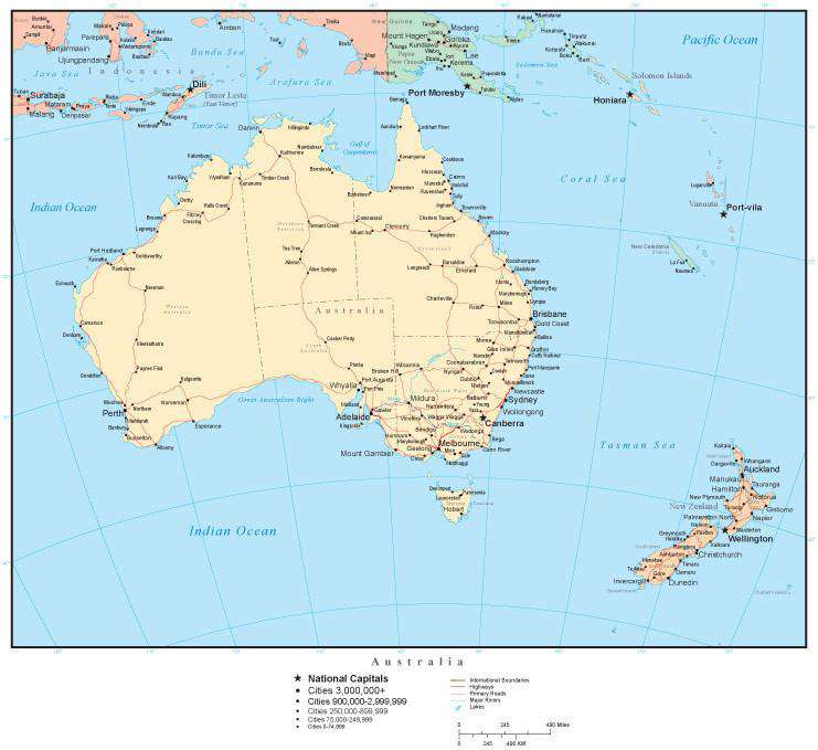
Australia Map with Countries, Australian States, Capitals, Cities, Roads and Water Features
$49.95
{{option.name}}:
{{selected_options[option.position]}}
{{value_obj.value}}
About This MapShows country borders, country names, major rivers, lakes, roads, and cities.Each country is a separately drawn Adobe Illustrator object you can select and change the color. All lines are fully editable, and all text is fully editable font text (not outlines).Perfect for page size illustrations.If you need a map like this one showing a different area, please contact our Custom Mapping Services.
Show More
Show Less