British Columbia Province Map - Fit-Together Style
$99.95
{{option.name}}:
{{selected_options[option.position]}}
{{value_obj.value}}
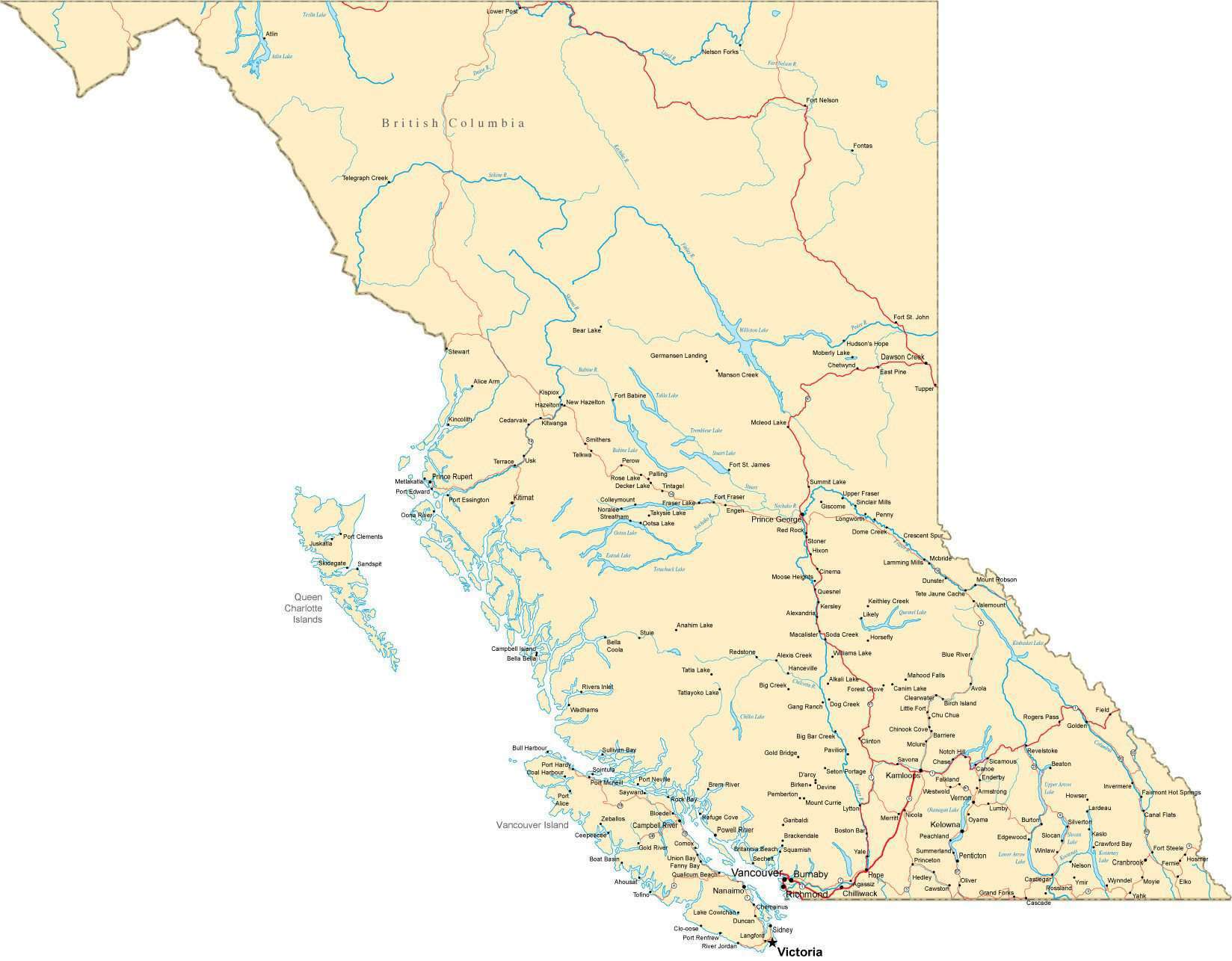
About This British Columbia MapShows British Columbia, Canada with features including major highways, rivers, lakes, and major city locations.Each area and road is a fully editable Adobe Illustrator object, and all text is font text (not outlines). Layers make it easy to customize the features on the map using Adobe Illustrator.Perfect for large color illustrations in print or web design.This map is also included in our Premier International Canada collection, including maps of Canada and all Provinces & Territories.If you need a map like this one showing a different area, please contact our Custom Mapping Services.
Show More
Show Less