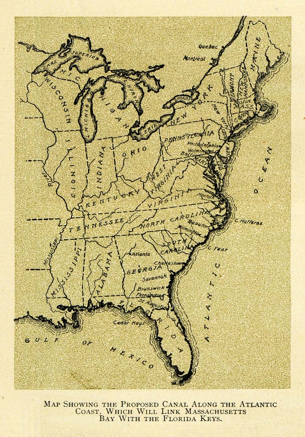
1909 Print Canal Proposal Map Route Atlantic East Coast - ORIGINAL TW3
This is an original 1909 color print of a map showing the proposed canal along the Atlantic Coast, which would create a link between the Massachusetts Bay and the Florida Keys. CONDITIONThis 102+ year old Item is rated Very Fine ++. Light aging in margins. No creases. No natural defects. No surface rub. No tears. No water damage. Please note that there is printing on the reverse. Product Type: Original Color Print; Color Grade: Very Fine ++ Dimensions: Approximately 3.5 x 5 inches; 9 x 13 cm Authentication: Serial-Numbered Certificate of Authenticity w/ Full Provenance Protection: Packaged in a custom archival sleeve with an acid-free black board (great for display, gift-giving, and preservation) Keywords specific to this image: mapping, layout, cartography, cartographer, America, coastal, United States, New England, East, Eastern, channel, waterway, Delaware, Raritan, New York Harbor, bay, New Brunswick, river, Bordentown, Philadelphia, Pennsylvania Railroad, excavation, constr